

is an application for the integration and distribution of the Natural Resource Damage Assessment (NRDA) response, assessment, and restoration data as well as historical data collected from hazardous sites around the country.
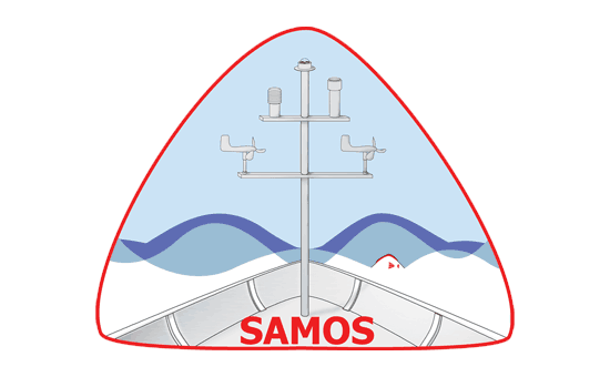
provides access to accurate, high-quality marine meteorological and near-surface oceanographic observations from research vessels and select voluntary observing ships.
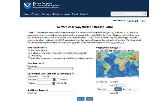
provides a comprehensive set of quality controlled, in situ measurements of sea surface salinity (SSS) and temperature (SST) collected from 490+ vessels and uncrewed surface vehicles (USVs) from 1986 to the present. Also included are meteorological and microplastics data. This database enables assessments of global SST and SSS variability; analysis of patterns and trends at regional and temporal scales; and insights in climate change, the global water cycle, air-sea interaction, and more.
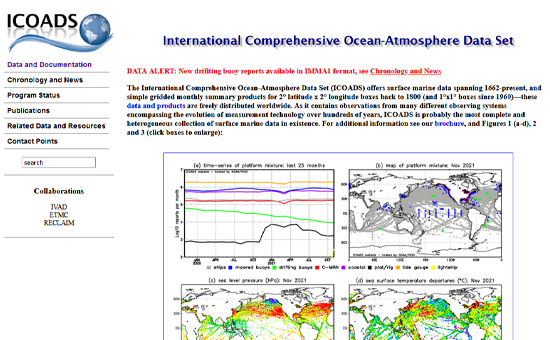
offers a comprehensive and heterogeneous collection of surface marine data from 1662 to the present and simple gridded monthly summary products starting in 1800. Data contains observations from many different observing systems, reflecting the evolution of measurement technology.
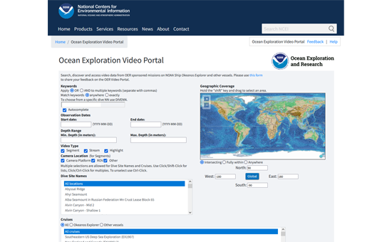
provides access to thousands of hours of underwater video data collected by deep submergence vehicles. Products include previews of low-resolution clips, downloads of high-resolution videos, and video metadata which may include dive summaries, expedition summaries, and other associated content.
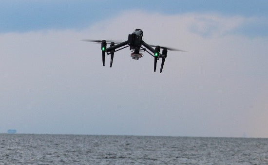
provides imagery collected during UAS flights for several NGI/MSU projects. The collections include coastal imagery to support efforts of the Mississippi Department of Marine Resources, wetland imagery to study restoration efforts along the Gulf of America, and flood imagery to study real-time conditions in the lower Mississippi River region and improve NOAA flood model forecasts.
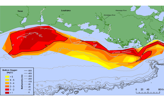
provides access to data and products from annual hypoxia monitoring cruises conducted by the Louisiana Universities Marine Consortium (LUMCON).
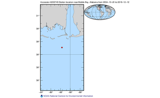
is available as a continuous time series of temperature, salinity, depth, and current velocity collected from 2004 to the present from a small coastal ocean observing systems 25 kilometers southwest of Mobile Bay. This mooring operation represents the longest running time series of coastal hydrographic water column data in the Mississippi Bight and one of the longest in the entire Gulf of America.